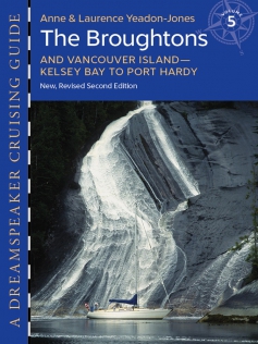
Discover The Broughton Archipelago & Vancouver Island Kelsey Bay to Port Hardy 4th Edition 2024 has just arrived
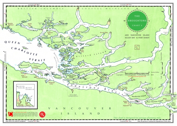
The Broughton Archipelago region lies along the eastern fringe of Queen Charlotte Strait, nestled between the coastal mainland and northeast Vancouver Island. On the northeast shore of Vancouver Island, Port McNeill is the cruising boater’s gateway to the Broughtons. Acclaimed for its dramatic mountain backdrops, wild beauty and First Nations’ history, the Broughton Archipelago and surrounding islands offer a choice of sheltered anchorages that are linked by family marine resorts that offer moorage and the opportunity to socialize with other boaters; some resorts also offer fuel, provisions and hiking trails. |
Guide. 9 x 12 inches. Guide with FREE Broughton Archipelago Map! Visit the Online Shop for Discounts. |
Become a friend of DREAMSPEAKER GUIDES
Sign up for downloads and to view Author Articles, Guide Updates, Trip Itineraries, and other Topics.


